Landslide & Mudflow Trouble Spots on The West Coast: Towns on the “Move”

Don’t get caught in the mud in these spots on the West Coast!
Table of Contents
- Big Sur Coast, CA — Highway 1 (Monterey/SLO line)
- Pacifica & Daly City, CA — Ocean Bluffs & Esplanade
- La Conchita & Rincon Coast, CA — 101/Coast Rail
- Montecito & Santa Barbara Foothills, CA — Debris-Flow Channels
- Malibu–Topanga Canyon Network, CA — PCH + Canyons
- San Clemente–Dana Point, CA — Railbed & Coastal Bluffs
- Del Norte Coast, CA — Last Chance Grade (US-101)
- Oregon Coast Hotspots — Neahkahnie, Cape Meares, Otter Crest
- Columbia River Gorge, OR — Dodson/Bridal Veil to Mitchell Point
- Seattle’s Rain-Soaked Bluffs, WA — West Seattle, Magnolia, South Park
Big Sur Coast, CA — Highway 1 (Monterey/SLO line)
Where closures stack: The Paul’s Slide/Mud Creek stretch and the steep folds south of Big Sur village.
Why it slides: Sea-cliff bedrock fractured by faulting + winter atmospheric rivers + undercut toes. Even “repaired” slopes can re-activate.
Watch for: Overnight hard closures, convoys only, or sudden daytime shut-downs after new cracks appear. Bluff pullouts can slump—park on bedrock, not the edge.
Detour intel: US-101 via Salinas or Paso Robles rules. If you’re mid-coast when it shuts, you might be committed to a long backtrack—gas and snacks are strategy, not luxury.

Pacifica & Daly City, CA — Ocean Bluffs & Esplanade
Where closures stack: Esplanade Ave cliff line, Palmetto corridor, and segments near Mussel Rock.
Why it slides: Wave undercut + sandy/colluvial soils + old fill. Rain turns steep yards into slow conveyors.
Watch for: Sidewalk sinkholes, fencing moving inland, and pop-up parking restrictions after storms. Don’t shortcut taped areas for a photo—voids hide just under the grass.
Detour intel: When local streets go one-lane, hop to Skyline/CA-35 or Highway 1 inland. Trail reroutes to Mori Point/Sharp Park boardwalk keep your walk safe and scenic.
La Conchita & Rincon Coast, CA — 101/Coast Rail
Where closures stack: The La Conchita bowl above US-101/rail and the narrow pads between the mountains and sea.
Why it slides: Ancient landslide complex that reawakens in long rain pulses; saturated colluvium moves fast.
Watch for: Debris on shoulders, mudflow fans crossing the road, and rail delays when cuts slump. Obey CHP flaggers—mud keeps coming after the “main” slide.
Detour intel: 101 may bottleneck to one lane or shut entirely; the mountain bypass via 154 is the usual relief when open, but check CHP updates before committing.
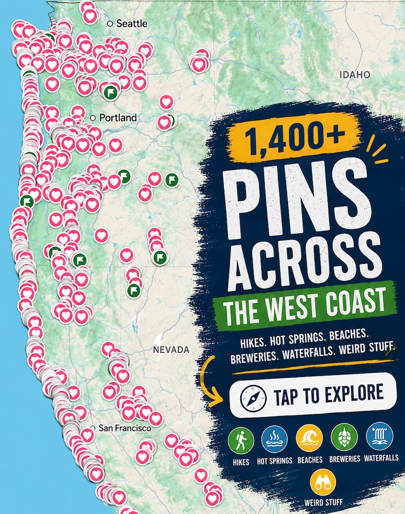
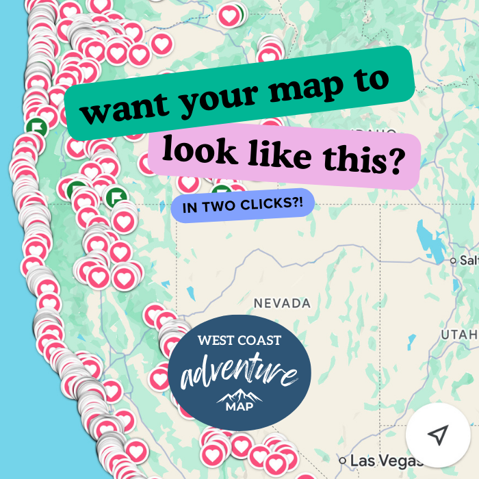
📍 GET THE ULTIMATE PNW MAP 🗺️
Get our curated list of the best adventures, things to do, and places to grab a brew loaded onto your maps with just two clicks!
✅ Waterfalls ✅ Hikes ✅ Viewpoints
✅ Craft breweries ✅ National Parks ✅ 1400+ Pins


Montecito & Santa Barbara Foothills, CA — Debris-Flow Channels
Where closures stack: Montecito Creek, San Ysidro, Romero, and Mission Canyon crossings; low bridges and fanheads.
Why it slides: Burn scars + intense rain = debris flows that outrun normal floods. Even years later, channels can reload with smaller pulses.
Watch for: “Evacuation Warning” signs in forecasted intense rainfall—heed them. Never stand on bridge rails to watch brown water; banks can fail from beneath.
Detour intel: US-101 can flood or close at ramps; Coast Village Rd and San Roque grids help for local moves, but regional travel waits for water to drop.
Malibu–Topanga Canyon Network, CA — PCH + Canyons
Where closures stack: PCH below slide scars, plus Topanga, Kanan, Latigo, and Malibu Canyon after multi-inch days.
Why it slides: Fire-denuded slopes shed mud/rock; narrow canyons concentrate debris onto roads.
Watch for: Rockfall around blind curves, mud across lanes at creek fords, and utility crews occupying one lane for days.
Detour intel: If one canyon is out, another may be worse. For regional moves, swing to the 101 inland early; treat PCH night driving after storms as “essential only.”
San Clemente–Dana Point, CA — Railbed & Coastal Bluffs
Where closures stack: The coastal rail corridor by Cyprus Shore and bluff-toe sections toward Dana Point.
Why it slides: Marine terraces creep seaward; heavy rain lubricates clay layers and tilts track beds.
Watch for: Rail service suspensions and beach trail closures under active slopes; stairways taped off.
Detour intel: I-5 handles through-travel; beach walks reroute onto inland multi-use paths until inspectors clear under-cliff segments.
Del Norte Coast, CA — Last Chance Grade (US-101)
Where closures stack: The forested sea-cliff segment south of Crescent City.
Why it slides: Old landslide complexes + high rainfall + ocean undercut = perpetual motion. Repairs often become the next failure plane.
Watch for: One-way pilot cars, hour-plus delays, or full closures after “movement detected” alerts.
Detour intel: There’s no quick alternate on the coast. If timing matters, reroute long via US-199 (when clear) and I-5—even if it looks absurd on the map.

Oregon Coast Hotspots — Neahkahnie, Cape Meares, Otter Crest
Where closures stack: US-101 around Neahkahnie Mountain (Manzanita/Nehalem), the Cape Meares approach, and the Otter Crest loop near Depoe Bay.
Why it slides: Basalt headlands with weathered caps over clay seams; rainfall pries pieces loose onto narrow benches.
Watch for: Rockfall zones signed for a reason; shoulders may vanish after a storm. Slide-by-night roadbeds can settle inches—mind lane shifts.
Detour intel: Inland spurs (OR-53/OR-6/OR-34) carry traffic when 101 struggles; add time and gas. Local loops usually reopen as one-lane first—yield to flaggers.
Columbia River Gorge, OR — Dodson/Bridal Veil to Mitchell Point
Where closures stack: I-84 frontage and Old Gorge Highway segments under steep drainages.
Why it slides: Fire-weakened slopes + winter rain create debris flows that cross roads and tracks.
Watch for: Sudden closures, long detours to WA-14, and closures of trailheads in slide paths. Waterfalls can go chocolate and carry logs—stay on paved viewpoints.
Detour intel: When I-84 pinches, WA-14 takes overflow but is narrower and slower—plan daylight hours and patience.
Seattle’s Rain-Soaked Bluffs, WA — West Seattle, Magnolia, South Park
Where closures stack: Beach Drive/Alki bluffs, Perkins Lane in Magnolia, and soft banks along the Duwamish flats.
Why it slides: Glacial layers (permeable over hard till) create slick slip planes; long rains overtop the sponge and the whole slope inches seaward.
Watch for: Sidewalk buckles, lean in trees, and “Street Closed—Landslide” sawhorses on neighborhood hills. Don’t step on fresh slump toes; they calve again.
Detour intel: Harbor Ave, California Ave, and 15th Ave W carry reroutes; leave extra time on storm weeks—freight backups ripple across town.

Slide-Season Playbook (Clip This)
Plan alternates. Save offline maps with at least two inland routes. Fuel early; detours can add hours.
Heed the tape. Fresh mud looks solid on top and hollow underneath—closures aren’t suggestions.
Park smart. Never nose in under a cut slope in wet weeks; choose bedrock or lots away from bluffs.
After rain, wait. Many failures occur hours after the storm as hills drain; morning commutes can be worse than the night before.
Eyes up. Cracks widening, trees tilting, or gravel popping underfoot = back away and call it in.