Oregon’s best-known wildflower meadow is closed for the rest of 2026. Washington and California picked up the slack.

Elk Meadows, the wildflower hike most Oregonians default to on Mount Hood, is closed. Not busy, not past its prime — closed, by federal order, through December 31, 2026, while the Grasshopper Fire burns through the surrounding national forest.
That closure is forcing a real rethink of where Oregon’s wildflower season lives this year. Here’s where it landed, plus honest, elevation-by-elevation updates on how Washington and California’s high-country blooms are holding up in the second week of August.
Psst — we made you a West Coast Adventure Map. Nearly 1,900 of our favorite spots, already pinned, ready to load into Google Maps in two clicks — grab it here.
Oregon: Elk Meadows is closed, so Tam McArthur Rim is picking up the slack
The Forest Service closure covers Elk Meadows Trail #645 along with more than 50 other trails on Mount Hood’s east side, and it’s in effect through the end of 2026. This isn’t a soft suggestion, either — being caught inside the closure area carries a fine of up to $5,000.
📍 GET THE ULTIMATE PNW MAP 🗺️
Get our curated list of the best adventures, things to do, and places to grab a brew loaded onto your maps with just two clicks!
✅ Waterfalls ✅ Hikes ✅ Viewpoints
✅ Craft breweries ✅ National Parks ✅ 1400+ Pins

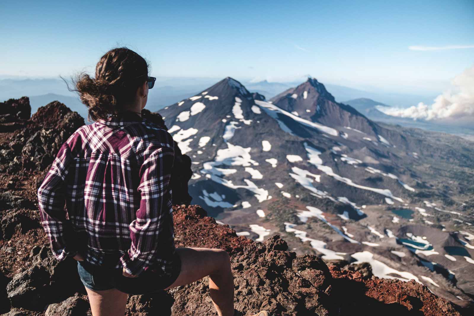
About three hours south near Sisters, Tam McArthur Rim hasn’t been touched by any of it. The hike runs 5.4 miles round trip with 1,253 feet of climbing from the Three Creek Lake Trailhead, and lupine typically blankets the rim from mid-July into early August — which puts you right at the tail end of the good stuff this week.
One thing to sort out before you go: this trailhead sits inside the Three Sisters Wilderness, so you’ll need a Central Cascades Wilderness Permit rather than a standard forest pass. Self-issue day permits are usually right there at the trailhead, no advance reservation required.
Washington: Naches Peak Loop is riding out its last good week
Naches Peak Loop is the overachiever on this list — 3.2 miles, about 600 feet of gain, and it still packs in an alpine tarn, a view down to Dewey Lake, and a straight shot at Mount Rainier. Half the loop sits in national forest and half sits inside the park, which is why dogs are welcome on one side of the trail and turned away on the other.
Lupine, bistort, and magenta paintbrush usually peak here in late July and early August, so you’re catching this one right at the edge of its window. Start from Tipsoo Lake if you can — that trailhead skips the parking pass entirely, while the Chinook Pass Overlook lot 0.7 miles away requires a Northwest Forest Pass.

California: Gaylor Lakes is just getting started
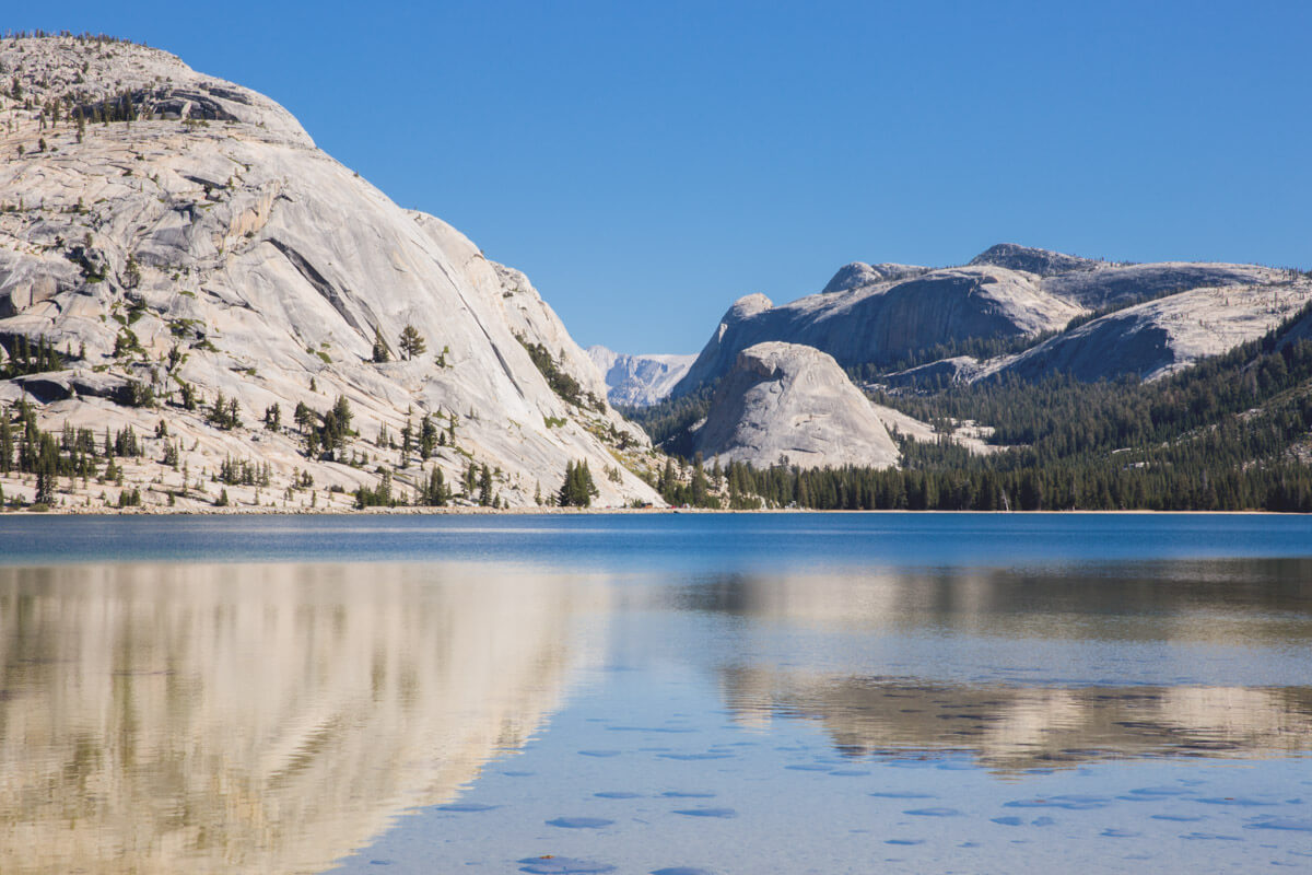
This is the one where elevation actually works in your favor. The Gaylor Lakes Trail starts at the Tioga Pass entrance station, already sitting near 9,950 feet, and climbs roughly 600 feet over about 3 miles round trip into a basin most Yosemite visitors never see because they never leave the valley floor.
Snow lingers on this ground longer than almost anywhere else in the park, so the wildflowers don’t even get started until other trails are already fading. Alpine asters, fireweed, and paintbrush are still filling in through mid-August most years — Yosemite running about a month behind its own postcard, and that’s a compliment.
Getting here means driving through the park’s east entrance, so the standard $35-per-vehicle fee applies, or an America the Beautiful Pass covers it. California is for Adventure’s full Yosemite guide covers the rest of the park if you’re making a day of it.
Three states, three elevations, one narrow window before all of it turns to huckleberries and dry grass. Which one are you chasing before it closes out?
Trip tips: grab a rental car to get out here, or lock in your hotel before the last of the summer rooms disappear.
Rules and fees change — always confirm current requirements before you go.