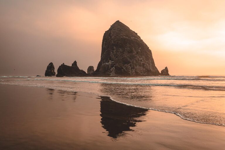
These West Coast Beaches Are Literally Disappearing
Sandy strolls and dreamy sunsets? Not for long. The West Coast’s shoreline is taking a serious hit from sea-level rise, coastal erosion, stronger storms, and sinking land. We pulled together the hard data because this isn’t just wallpaper—it’s an urgent coastal crisis. Here are nine beaches where the sand is literally vanishing.
Table of Contents
- 1. Humboldt Bay & Northern California Cliffs
- 2. Southern California’s Sandy Beaches
- 3. Pacifica, CA
- 4. North Cove / “Washaway Beach,” WA
- 5. Goleta Beach, CA
- 6. Pillar Point Bluff, CA
- 7. Malibu’s Carbon & Broad Beaches, CA
- 8. Southern California Piers (Capitola, Ocean Beach, etc.)
- 9. San Francisco Bay and Peninsula Wetlands
- MORE ON THE WEST COAST:
1. Humboldt Bay & Northern California Cliffs

Satellite and tide-gauge data show sea levels in Northern California have risen about 8 inches since the early 1900s—even more in areas undergoing land subsidence. Bluff-lined coastlines in Humboldt are retreating rapidly as sedimentary rock cliffs collapse under wave attack and runoff. A U.S. Geological Survey study warns we could see twice the current erosion rates by 2100, putting homes, highways, and rail lines at risk.
2. Southern California’s Sandy Beaches

A 2023 USGS study estimates that 25% to 70% of California’s sandy beaches—stretching from Morro Bay to San Diego—may fully vanish by 2100, depending on sea-level rise scenarios. Some beaches in SoCal are already eroding at up to 3.18 meters per year and need three times the sand for beach nourishment by mid-century.
3. Pacifica, CA
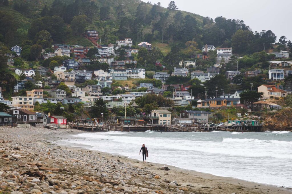
Perched atop eroding cliffs, much of Pacifica west of Highway 1 could disappear by 2100 unless drastic changes are made. The bluffs have lost over 90 feet in less than a decade—waves during recent king tides took entire sections of the pier and nearby homes. Locals are torn between building seawalls (which risk killing beaches) and managed retreat.
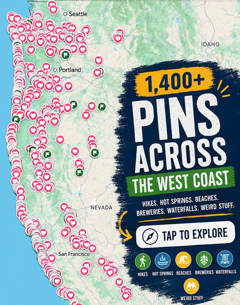
📍 GET THE ULTIMATE PNW MAP 🗺️
Get our curated list of the best adventures, things to do, and places to grab a brew loaded onto your maps with just two clicks!
✅ Waterfalls ✅ Hikes ✅ Viewpoints
✅ Craft breweries ✅ National Parks ✅ 1400+ Pins

📍 GET THE ULTIMATE PNW MAP 🗺️
Get our curated list of the best adventures, things to do, and places to grab a brew loaded onto your maps with just two clicks!
✅ Waterfalls ✅ Hikes ✅ Viewpoints
✅ Craft breweries ✅ National Parks ✅ 1400+ Pins
4. North Cove / “Washaway Beach,” WA

North Cove, Washington, is nicknamed “Washaway Beach” for good reason. It’s eroding faster than anywhere else on the U.S. West Coast—sometimes more than 100 feet per year. Since 1920, coastal lands have been reclaimed by tidal action, taking homes, roads, and even Coast Guard stations. A resident’s basalt-project has slowed the retreat, but it’s still a frontline battle.
5. Goleta Beach, CA

Located on a sediment-filled slough, Goleta has been shrinking at nearly 20 feet per year over the past decade. Parks, restrooms, playgrounds, even restaurants are inching toward collapse. Emergency beach berm building and shoreline armoring are being debated—but each carry their own environmental costs.
6. Pillar Point Bluff, CA

This Northern California bluff near Half Moon Bay is slipping into the ocean at a worrisome rate—about 1.5 feet per year. Erosion is worsened by invasive plants, off-leash dogs, and as a result of porous geology. Trail closures and bluff setbacks are becoming regular community headache.
7. Malibu’s Carbon & Broad Beaches, CA

High-profile homes hugging the sand are looking down—literally. Carbon Beach and Broad Beach have lost substantial shoreline due to chronic erosion and high-wave storms. Piers are deteriorating. Homeowners’ associations bankroll repeated nourishment, but critics call it a delay tactic in what’s becoming inevitable coastal retreat.
8. Southern California Piers (Capitola, Ocean Beach, etc.)
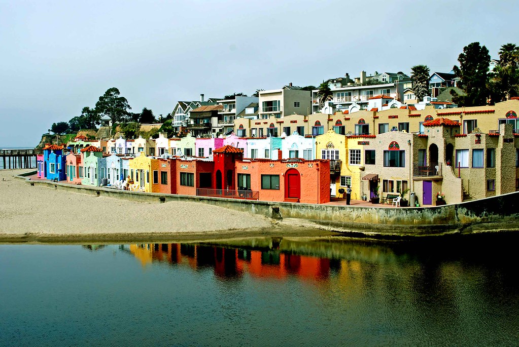
Severe El Niño and Pineapple Express storms are battering piers across SoCal. Capitola Wharf and Ocean Beach pier have already shut down with damage repair costs reaching into the millions. Sea-level rise and stronger storms make these iconic structures increasingly vulnerable.
9. San Francisco Bay and Peninsula Wetlands

Sea level rise of just 6–14 inches by 2050—combined with land subsidence reaching 0.4 inches per year in places—will put bayfront pathways, marshes, and levees under regular flooding. Up to $250 billion in regional property may be vulnerable by century’s end.
Why This Matters
- Economic value: Beaches support tourism, local business, and recreation.
- Ecological importance: Dune ecosystems and wetlands are first lines of defense.
- Coastal communities: Many towns are facing billion-dollar decisions on seawalls vs. retreat.
MORE ON THE WEST COAST:

READ MORE: The Best of Oregon
READ MORE: The Best of Washington
READ MORE: The Best of California
*GRAB THE BEST WEST COAST ADVENTURE MAP FOR YOUR NEXT TRIP!*