Earthquake Danger Zones on the West Coast You Might Be Living In

Ah yes—the “Big One.” It’s not just a doomsday headline; it’s a scientific inevitability. If you live anywhere on the West Coast, chances are you’re closer to an active fault than you’d like. With shifting plates, silent faults, and overdue tremors, here are the top earthquake danger zones that should be on your radar—no panic, just facts.
Table of Contents
- 1. Cascadia Subduction Zone (Northern California to British Columbia)
- 2. San Andreas Fault (Southern & Central California)
- 3. Hayward-Rodgers Creek Fault System (East Bay Area, CA)
- 4. Seattle Fault Zone (Puget Sound, WA)
- 5. San Jacinto Fault (Southern California)
- 6. Portland Metro & Oregon Coast Range
- 7. Eureka & Humboldt County, CA
- 8. Anchorage of the Future? Crescent City, CA
- 9. Inland Fault Zones (Lake Tahoe, CA & Eastern Sierra)
- MORE ON THE WEST COAST:
1. Cascadia Subduction Zone (Northern California to British Columbia)

Running 700+ miles offshore from Cape Mendocino to Vancouver Island, this megathrust fault is capable of producing a magnitude 9.0+ earthquake and a devastating tsunami. Scientists estimate a 37% chance of a massive rupture in the next 50 years. If it hits, low-lying towns on the Oregon and Washington coasts could be underwater within minutes. The last major rupture happened in 1700—and it’s not a matter of if it will happen again, but when.
2. San Andreas Fault (Southern & Central California)
California’s most famous fault runs 800 miles through the heart of the state and is way overdue for a major quake. The southern segment—from Palm Springs to L.A.—hasn’t ruptured in over 300 years, despite an average cycle of 150. A full break could generate a magnitude 7.8+ quake with widespread destruction in SoCal. Think collapsed freeways, firestorms, and city-wide shutdowns.
3. Hayward-Rodgers Creek Fault System (East Bay Area, CA)

Often called “the most dangerous fault in America,” the Hayward Fault cuts directly through Oakland, Berkeley, and Fremont. It’s densely urban and packed with aging infrastructure. Experts say there’s a more than 30% chance of a major rupture by 2050. A simultaneous rupture with the connected Rodgers Creek Fault could cause a 7.4 quake—right under millions of people.
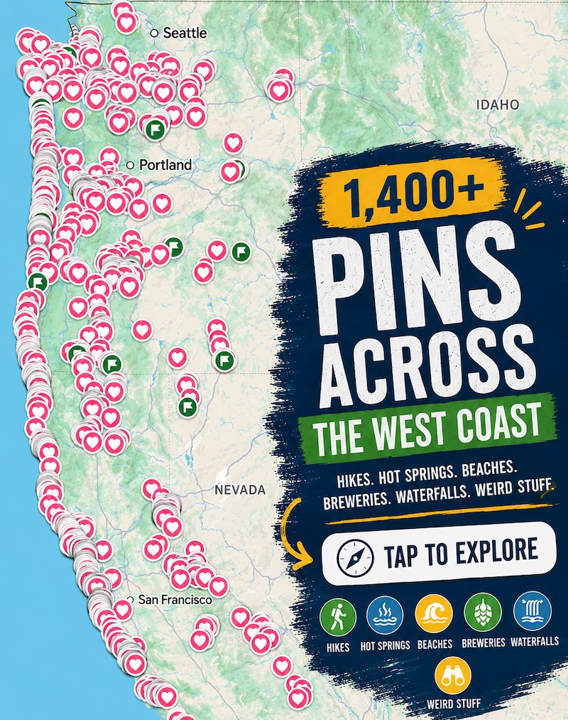
📍 GET THE ULTIMATE PNW MAP 🗺️
Get our curated list of the best adventures, things to do, and places to grab a brew loaded onto your maps with just two clicks!
✅ Waterfalls ✅ Hikes ✅ Viewpoints
✅ Craft breweries ✅ National Parks ✅ 1400+ Pins

4. Seattle Fault Zone (Puget Sound, WA)

Seattle isn’t just waiting on Cascadia—the city itself sits on its own shallow fault line. A magnitude 7.0 quake here would devastate the metro, triggering landslides, bridge collapses, and possibly a tsunami in the Puget Sound. Many historic buildings are unreinforced brick and would not survive a direct hit.
5. San Jacinto Fault (Southern California)

This lesser-known fault runs parallel to the San Andreas and has produced large earthquakes historically. It cuts through populated areas like Hemet, San Bernardino, and Riverside. Some seismologists believe it could rupture before the San Andreas does. A quake here could severely damage the Inland Empire, which has grown rapidly over the past decade.
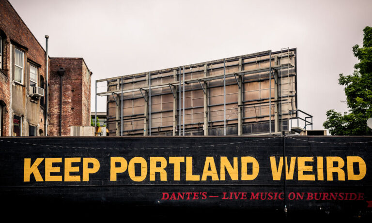
6. Portland Metro & Oregon Coast Range

Portland may not have an obvious surface fault like L.A., but it sits within shaking distance of several deep crustal faults and, more importantly, the Cascadia Subduction Zone. Portland’s aging bridges and infrastructure aren’t ready for a major quake, and the city has thousands of unreinforced masonry buildings still in use.
7. Eureka & Humboldt County, CA

This coastal region sits right at the triple junction of three major faults: the Pacific, Gorda, and North American plates. It’s one of the most seismically active spots in the country. Quakes over magnitude 6 happen regularly—and the Cascadia threat looms just offshore. Many communities here also face tsunami risk.
8. Anchorage of the Future? Crescent City, CA

This tiny town is known for getting hammered by tsunamis—over 30 in the past 100 years—and its proximity to offshore faults makes it especially vulnerable to quake-triggered tsunamis. One resident called it “the West Coast’s tsunami magnet,” and the town has already had to rebuild multiple times.
9. Inland Fault Zones (Lake Tahoe, CA & Eastern Sierra)

Don’t sleep on inland faults. Lake Tahoe sits near multiple faults capable of magnitude 6–7 quakes, including the West Tahoe–Dollar Point Fault. The Eastern Sierra, including Mammoth Lakes and Bishop, also has a seismic past, and a rupture here could disrupt everything from ski resorts to reservoirs.
Takeaways Without the Panic
- Most of these zones haven’t ruptured in centuries—but they’re active
- Know if your home is retrofitted or at risk
- Unreinforced masonry and liquefaction zones = extra danger
- Earthquake kits aren’t just a prepper thing—they’re smart living out West
MORE ON THE WEST COAST:

READ MORE: The Best of Oregon
READ MORE: The Best of Washington
READ MORE: The Best of California
*GRAB THE BEST WEST COAST ADVENTURE MAP FOR YOUR NEXT TRIP!*