Oregon has the widest ponderosa pine ever measured, California has the biggest tree on Earth, and winter changes how you reach both
Forget the redwoods for a second. The widest ponderosa pine anyone has ever measured grows in Central Oregon, and the single largest tree on the planet stands in California’s Sierra Nevada.
Both are short, easy walks for most of the year. Winter shuffles the rules at each one, though, so here’s how to reach them once the snow starts flying.
Psst, we made you a West Coast Adventure Map. Nearly 1,900 of our favorite spots, already pinned, ready to load into Google Maps in two clicks: grab it here.
Oregon’s Big Tree: the widest ponderosa pine ever recorded
Locals call it Big Tree, and some call it Big Red. It lives in LaPine State Park, off Highway 97 about a half hour south of Bend, and it’s been growing for roughly 500 years.
📍 GET THE ULTIMATE PNW MAP 🗺️
Get our curated list of the best adventures, things to do, and places to grab a brew loaded onto your maps with just two clicks!
✅ Waterfalls ✅ Hikes ✅ Viewpoints
✅ Craft breweries ✅ National Parks ✅ 1400+ Pins

The numbers are a little ridiculous: 28 feet, 11 inches around the trunk and about 162 feet tall. Storms snapped off part of its crown, so another ponderosa now holds the height title, but no tree of its species has ever been recorded bigger around.
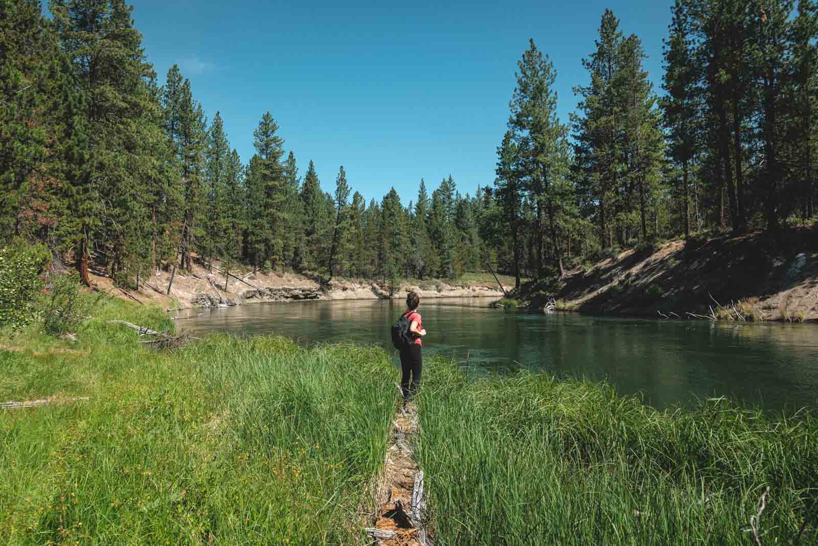
Here’s the winter catch. The road to the Big Tree day-use area and its parking lot close for the season, so the short paved path you’d use in summer is off the table.
Instead, park at the Cougar Woods Trailhead and follow the Cougar Woods Trail to the tree. It’s about 1.5 miles round trip with roughly 80 feet of climbing, tracing a side channel of the Deschutes River through old ponderosa forest. The path can get icy in winter, so toss traction for your boots in the car.
LaPine requires a day-use parking permit. You can buy one at the park’s fee machine, through a posted QR code, or online the same day.
California’s General Sherman: the largest tree on Earth
General Sherman doesn’t win on height or width. It wins on sheer wood: about 52,500 cubic feet of trunk, more than any other tree on the planet.
It stands about 275 feet tall in Sequoia National Park’s Giant Forest and is estimated to be more than 2,000 years old. Standing at the fence line, craning your neck to find the top, is a genuinely humbling way to spend an afternoon.

In normal conditions, the main trail starts at a lot off Wolverton Road and drops about half a mile on a paved path with a few stairs. Call it a mile round trip with roughly 200 feet of climbing, all of it on the way back, at around 7,000 feet of elevation.
Once heavy snow falls, that main lot closes and everyone uses the accessible parking area on the Generals Highway instead. The walk from there is only a few hundred feet, but it can be snowy or icy, and the park recommends traction devices and trekking poles when it is.
The drive is the bigger deal. Tire chains can be required on park roads any time it snows from fall through spring, and California law says every vehicle, four-wheel and all-wheel drive included, must carry chains in a chain-control zone. Check the park’s road conditions page before you leave.
You’ll also pay the national park entrance fee, so an America the Beautiful Pass is worth a look if Sherman is one of several parks on your list. When the snow cooperates, the paved Congress Trail loops about 2 miles past more named giants, starting near the Sherman Tree.
Which giant should you visit first?
Big Tree is the better winter walk, full stop. It’s flat, it’s short, and it slots easily into a Bend or Sunriver weekend.
General Sherman is the bucket-list one. It asks for more planning when the roads turn white, but standing next to the biggest tree on Earth is worth every bit of it. If you’re making a day of La Pine, our guide to LaPine State Park covers the rest of its trails.
So which giant goes on your winter list first, the Oregon pine or the California sequoia?
Trip tips: grab a rental car to get out here, and lock in your hotel before the good rooms are gone.
Rules and fees change, so always confirm current requirements before you go.