You can drive across an entire state line at Lake Tahoe without ever touching the brakes

Lake Tahoe looks like one lake from every overlook, but drive US-50 around the south shore and the state you’re standing in changes with barely a sign to mark it.
Roughly a third of the lake sits in Nevada, and that one line running through the water quietly decides which beaches need a reservation, which ones let you gamble at 21, and which ones nobody’s heard of yet.
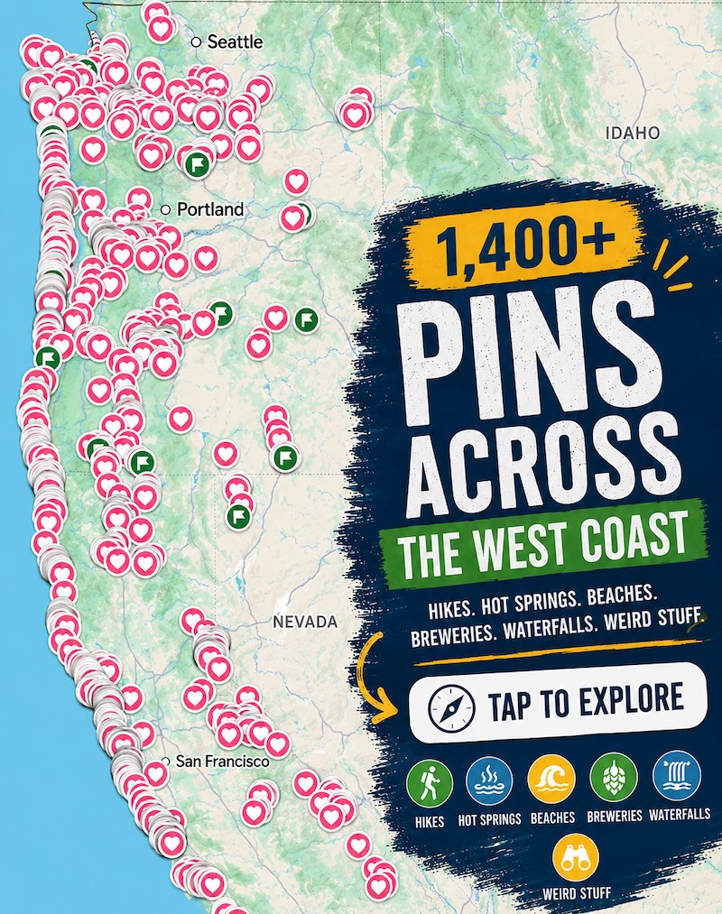
Psst — we made you a West Coast Adventure Map. Nearly 1,900 of our favorite spots, already pinned, ready to load into Google Maps in two clicks — grab it here.
The line runs through the whole lake, not just one town
Lake Tahoe covers about 191 square miles, sitting at 6,225 feet, and roughly 66% of that surface is in California with the other 34% in Nevada. That split isn’t just a line on a map — Placer and El Dorado counties hold the California side, while Douglas and Washoe counties (plus a sliver of Carson City) hold the Nevada side.
📍 GET THE ULTIMATE PNW MAP 🗺️
Get our curated list of the best adventures, things to do, and places to grab a brew loaded onto your maps with just two clicks!
✅ Waterfalls ✅ Hikes ✅ Viewpoints
✅ Craft breweries ✅ National Parks ✅ 1400+ Pins

It shows up fastest on the south shore. Head east out of South Lake Tahoe on US-50 and the town becomes Stateline, Nevada, before you’ve noticed the city limit changed.
Stateline is exactly what it sounds like
California doesn’t allow casino gambling, so every casino at the lake sits just past the border in Stateline. Harrah’s, Bally’s, Caesars Republic, and the Golden Nugget all cluster within a few blocks of each other, and the gambling age inside is 21 — no exceptions on the casino floor, though the restaurants stay open to everyone.
Walk out the back of any of those casinos and you’re already in California again. It’s one of the few places on the West Coast where a change of state is genuinely just a change of sidewalk.

The quieter beaches are almost all on the Nevada side
Sand Harbor, on the northeast shore inside Lake Tahoe Nevada State Park, is the one everyone eventually finds — sandy coves, clear water, and a nature trail worth the walk. It’s popular enough that it runs a reservation system from May 15 through September 30, so lock in a spot before you drive up.
Zephyr Cove, just north of Stateline, is the louder option: a mile of sand, a shallow gentle slope into the water, and enough energy that locals call it one of the lake’s party beaches. Neither one gets talked about as much as the California-side beaches, and that’s honestly the appeal.
Cave Rock, further up the east shore, is worth a stop but not a climb. It’s sacred to the Washoe Tribe, and recreational climbing there has been banned since 2003 — hiking, stargazing, and picnicking nearby are still fine, just skip the scramble.
The California side still has the postcard shot
If the goal is the photo everyone associates with Tahoe, that’s California’s Emerald Bay, on the lake’s southwest edge. Day-use parking runs $10 for the day or $3 an hour at the pay machine, and the lot fills early, so plan around it.
Pick Nevada for a quieter beach and a casino night. Pick California for the iconic overlooks and the deepest hiking. Most people never realize they’re doing both in the same afternoon — does that change how you’d plan the drive?
Trip tips: grab a rental car to get out here, lock in your hotel before the good rooms are gone, or skip both and book a camper van instead.
Rules and fees change — always confirm current requirements before you go.