Sweet Creek Falls Trail—Hike and Swim!
For a peaceful, easy hike packed with small waterfalls and scenic creek views, Sweet Creek Falls Trail is a must-visit near Mapleton.
Here’s everything you need to know for a perfect day out!
Table of Contents
Getting to Sweet Creek Falls Trail
To reach the trailhead, take Sweet Creek Road from Mapleton.
You’ll find a few signs along the way, and while it might feel a little confusing at first, the route is mostly straightforward. Trust us—it’s worth the drive!
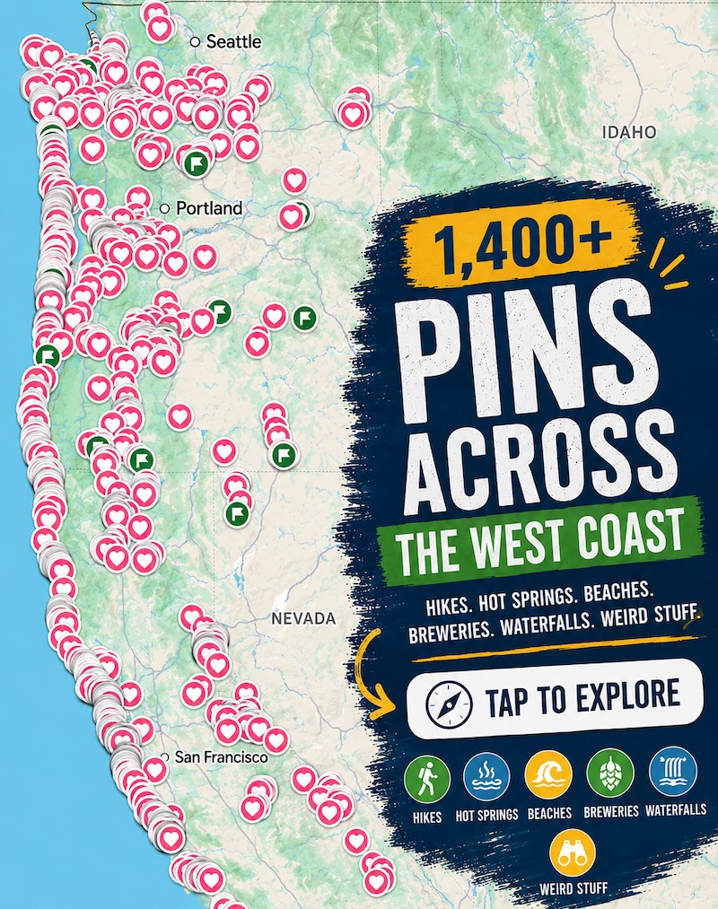
📍 GET THE ULTIMATE PNW MAP 🗺️
Get our curated list of the best adventures, things to do, and places to grab a brew loaded onto your maps with just two clicks!
✅ Waterfalls ✅ Hikes ✅ Viewpoints
✅ Craft breweries ✅ National Parks ✅ 1400+ Pins

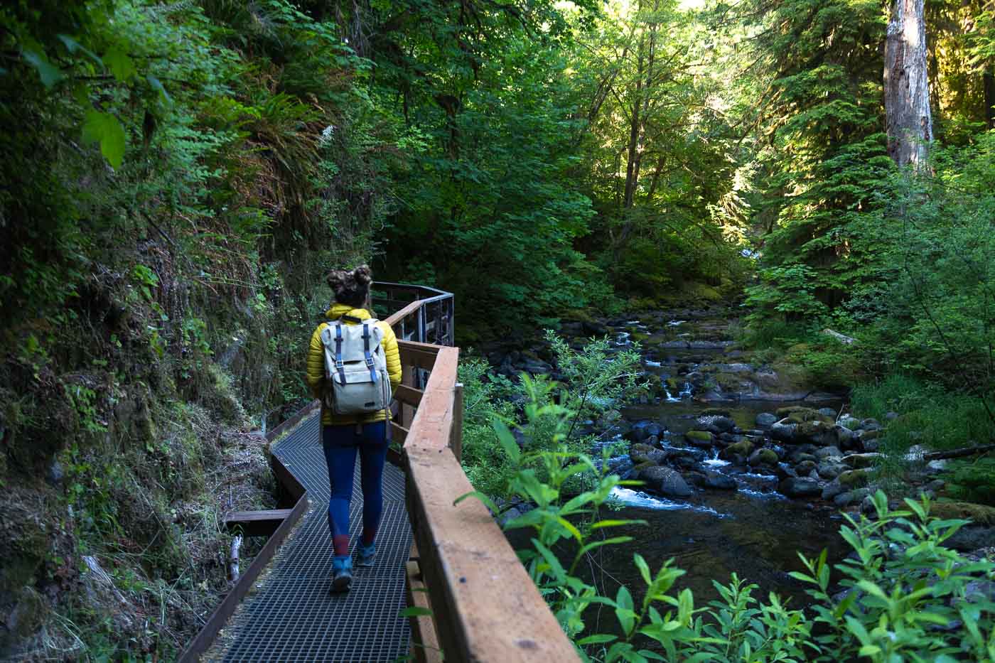
The Trail: A Scenic Creekside Path

This quick, easy trail runs alongside Sweet Creek and is mostly rock and dirt, with some minor ups and downs over rocks and roots.
Along the way, you’ll cross a few metal and wooden bridges and follow the creek as it flows through the forest.
The dense greenery, moss-covered trees, and ferns keep you cool under the forest canopy.
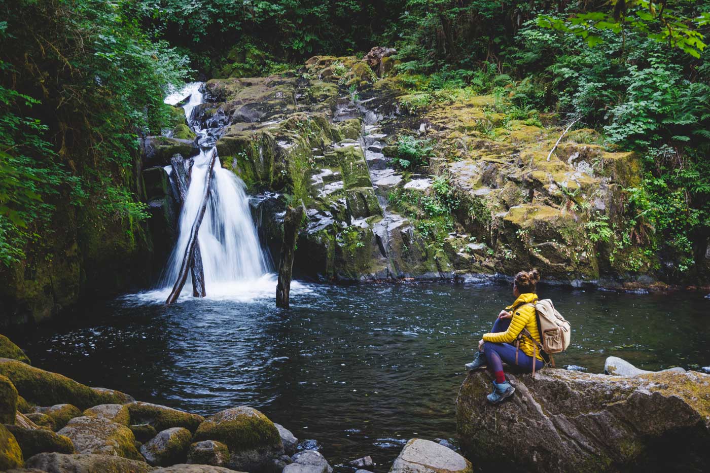
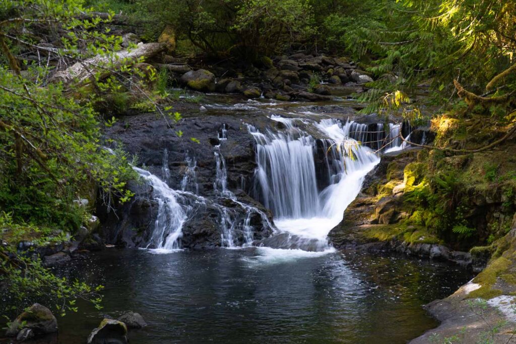
Waterfalls and Swimming Holes

All along the trail, you’ll come across small waterfalls and swimming holes, perfect for cooling off on a warm summer day.
There are plenty of little paths leading down to the creek where you can relax and dip your feet in the refreshing water, all to the sound of the waterfalls nearby.
Sweet Creek Falls: The Finale

At the very end of the trail, you’ll find Sweet Creek Falls, the largest waterfall on this hike.
While some people park closer just to see this last waterfall, we highly recommend doing the whole hike!
You’ll miss out on all the smaller waterfalls and beautiful forest views if you skip the main trail.
Quick Tips:
- Trail is flat and easy, but expect a few rocky and rooty spots.
- Great for a hot day—plenty of shady spots and swimming holes.
- Follow Sweet Creek Road from Mapleton, and watch for signs.
- Read more about what to do near Florence, Oregon!

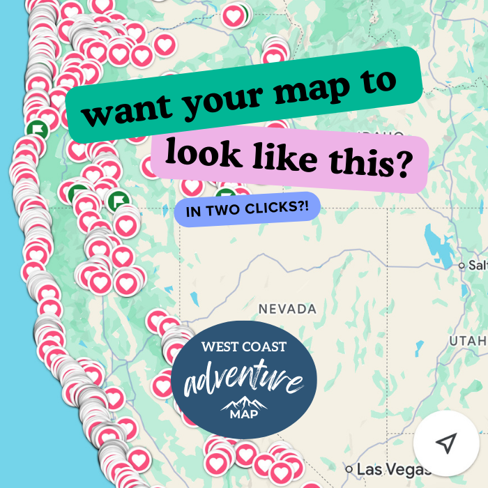
*GRAB THE BEST WEST COAST ADVENTURE MAP FOR YOUR NEXT TRIP!*
More Oregon Coast Waterfalls: