The best road trip in Oregon and Washington skips the coast completely — and quietly crosses into Idaho

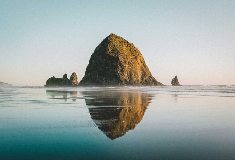
Everyone plans their Pacific Northwest trip around the coast. Cannon Beach, the ferry out to the San Juans, one more sunset over the water — it’s a great trip, and it’s also the exact same trip everyone before you has already taken.
Head inland instead. Northeast Oregon and southeast Washington string together granite peaks that look airlifted in from the Alps, a river gorge cut deeper than the Grand Canyon, and a 198-foot waterfall that drops out of wheat fields with zero warning. Idaho gets brushed along the way, almost by accident.
This one’s built for a rental car and a couple of unhurried days — the kind of trip where the drive itself is half the point.
Psst — we made you a West Coast Adventure Map. Nearly 1,900 of our favorite spots, already pinned, ready to load into Google Maps in two clicks — grab it here.
📍 GET THE ULTIMATE PNW MAP 🗺️
Get our curated list of the best adventures, things to do, and places to grab a brew loaded onto your maps with just two clicks!
✅ Waterfalls ✅ Hikes ✅ Viewpoints
✅ Craft breweries ✅ National Parks ✅ 1400+ Pins

Granite peaks that actually earn the Alps comparison
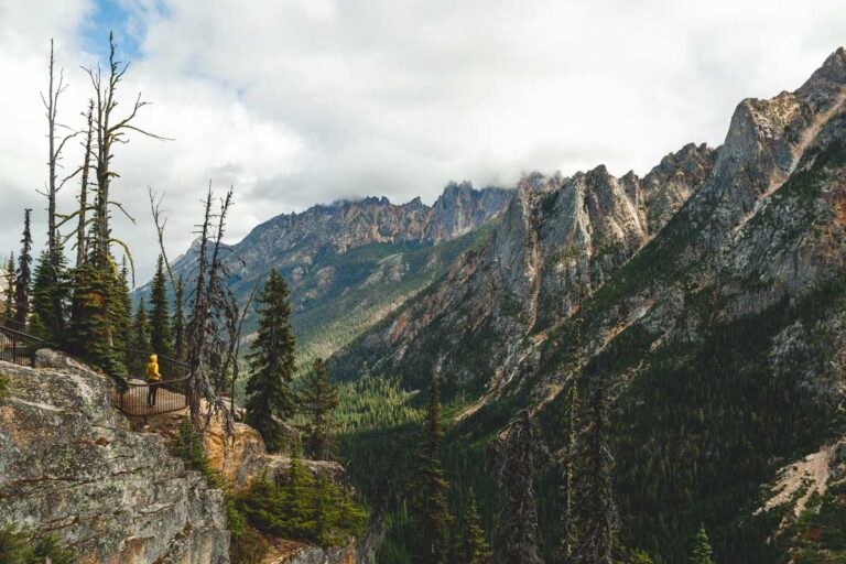
The Wallowa Mountains sit in Oregon’s far northeast corner, about 330 miles from Portland — far enough that most of the state still hasn’t bothered making the drive. Jagged granite peaks ring a glacier-carved lake, and Joseph, the small town at the base of it all, runs on bronze foundries instead of the usual gift-shop clutter.
The Wallowa Lake Tramway skips the hiking altogether. It hauls you to the 8,150-foot summit of Mount Howard in about 15 minutes, adult tickets run around $50, and it typically operates mid-May through September — worth confirming the current schedule before you commit to the drive.
Want to earn it instead? The Ice Lake Trail climbs 15.5 miles round trip with about 3,400 feet of gain into the Eagle Cap Wilderness, ending at a lake so clear it looks color-corrected. Permits are free and self-issued right at the trailhead. Of everything on this list, this is the one hike actually worth the sore legs.
Book a place to stay in Joseph before summer fills it up, or set up camp lakeside if you’d rather wake up already staring at the mountains.

Drive to the rim of the deepest river gorge in North America
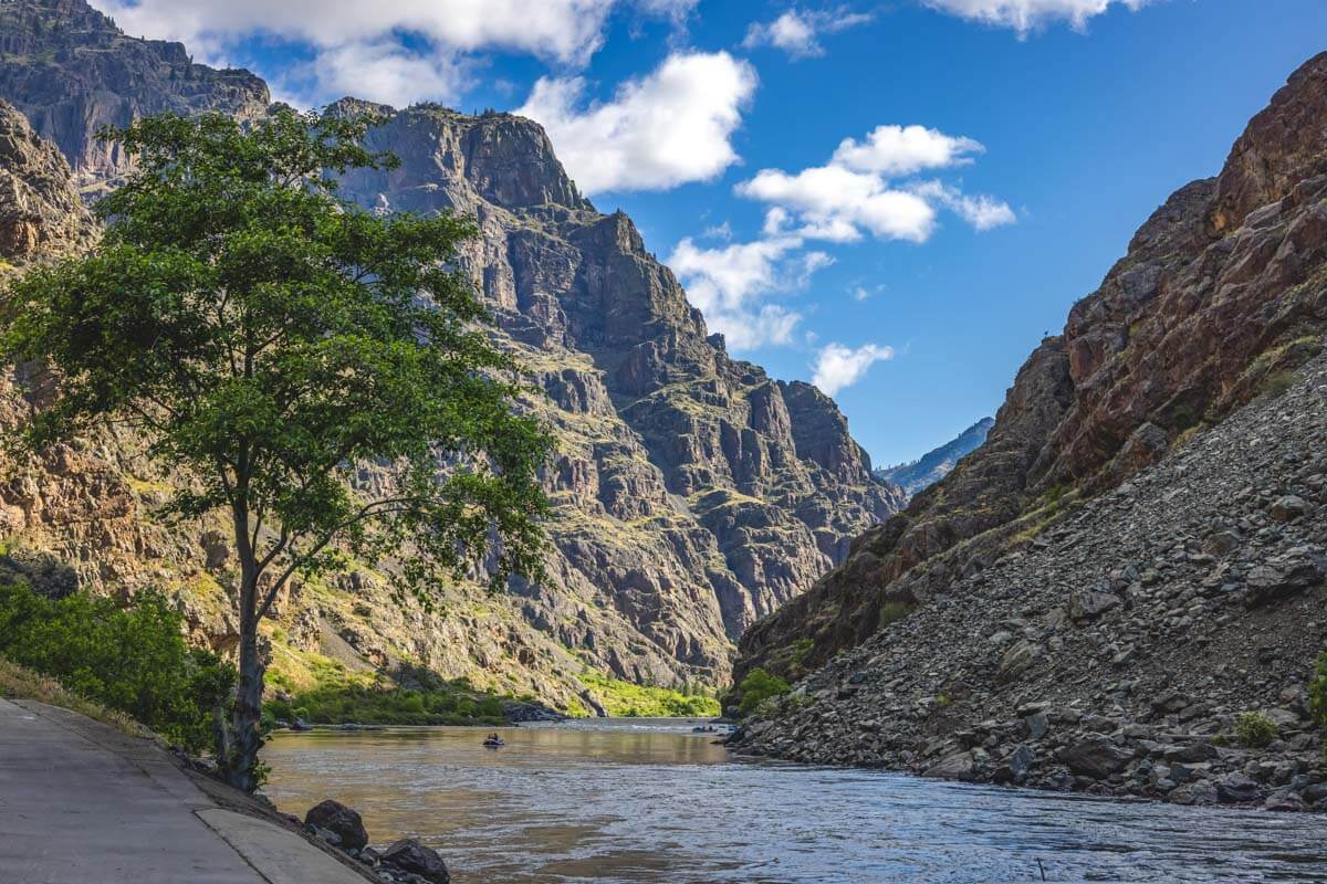
About 37 miles outside Joseph, the Hells Canyon Overlook puts you at the edge of a gorge cut nearly 8,000 feet deep by the Snake River — deeper than the Grand Canyon — straddling the Oregon-Idaho border the entire way down. No fee or pass is required to pull up and stare into it, which feels like an oversight given what’s actually down there.
Would you drive an extra hour just to look at a hole in the ground? For this one, yes. Late summer out here is also wildfire season, so a quick check on current conditions before you commit to the drive is worth the thirty seconds.
Wine country breaks up the drive north
From Joseph, it’s about 110 miles to Walla Walla, Washington — close to two and a half hours, and reason enough to split this into two days instead of pushing through in one sitting. Walla Walla has built a real reputation as one of Washington’s more respected wine regions, and the tasting rooms here feel a lot less precious about it than you’d expect.
This is also where the Washington half of the trip technically starts, even though nothing about wine country looks like what’s coming next. Lock in a hotel here if you’re breaking up the drive — rooms move fast once harvest season visitors start showing up.

A 198-foot waterfall drops out of nowhere
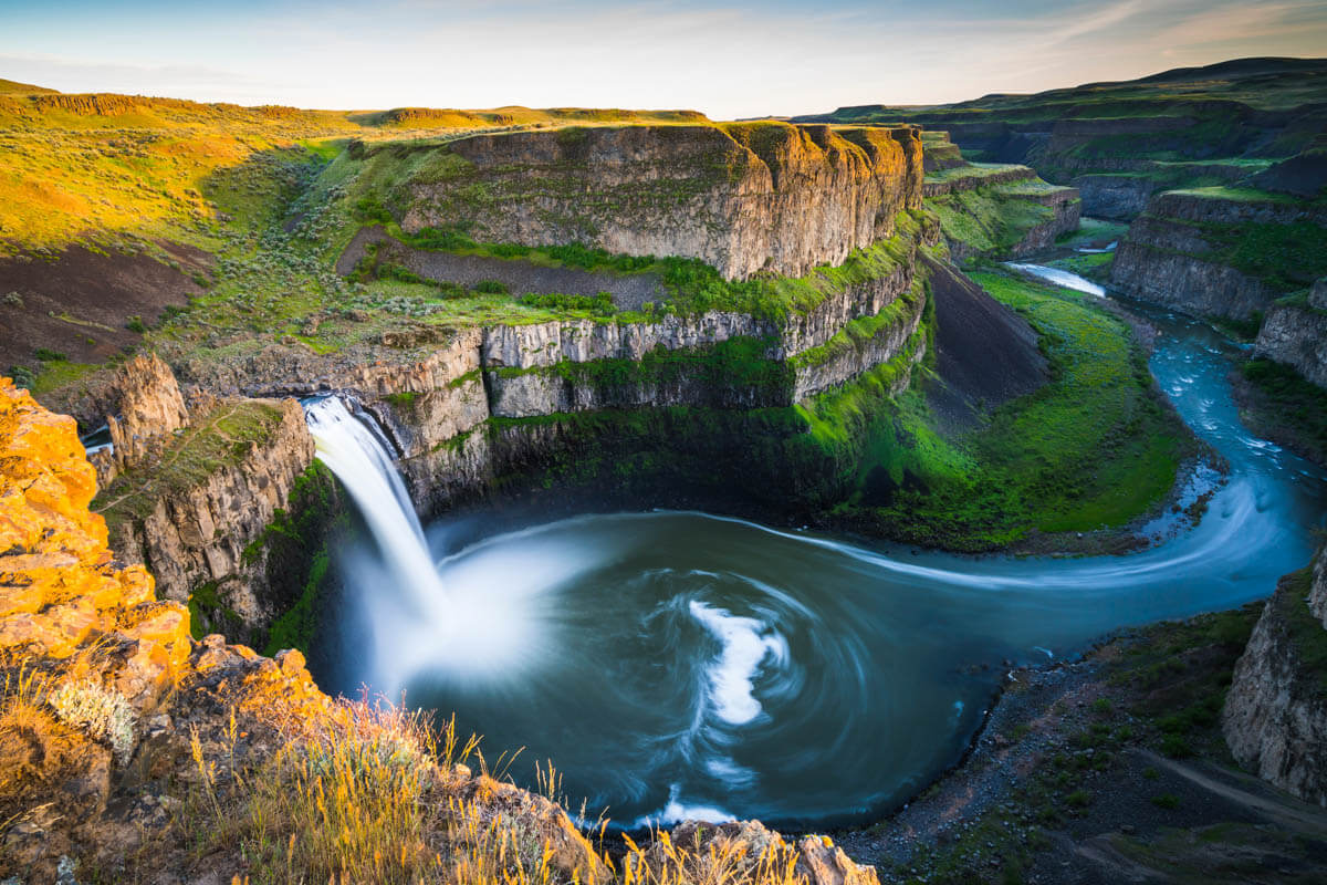
About 55 miles past Walla Walla, roughly an hour, the land splits open into Palouse Falls, where the Palouse River drops 198 feet into a basalt canyon that seems to appear out of nowhere. One minute it’s rolling wheat fields, the next there’s a canyon and a waterfall, like someone forgot to mention it was there.
A Discover Pass is required for day-use parking, about $10 for the day if you don’t already have Washington’s annual version. The main overlook is a short, easy walk from the lot, though the canyon rim isn’t fenced everywhere, so keep a hand on any kids and a healthy respect for the edge itself.
None of this touches saltwater once. That’s kind of the point.
Pair the Wallowas and Hells Canyon with a detour through Walla Walla and Palouse Falls, and you’ve got a loop that has almost nothing in common with the postcard version of the Pacific Northwest. Have you done the inland version of this trip, or is the coast still winning?
Trip tips: grab a rental car for the drive, or skip the logistics altogether and book a camper van instead.
Rules and fees change — always confirm current requirements before you go.