One of these West Coast mountain passes just had its latest opening in over 50 years — the other two are just as fleeting
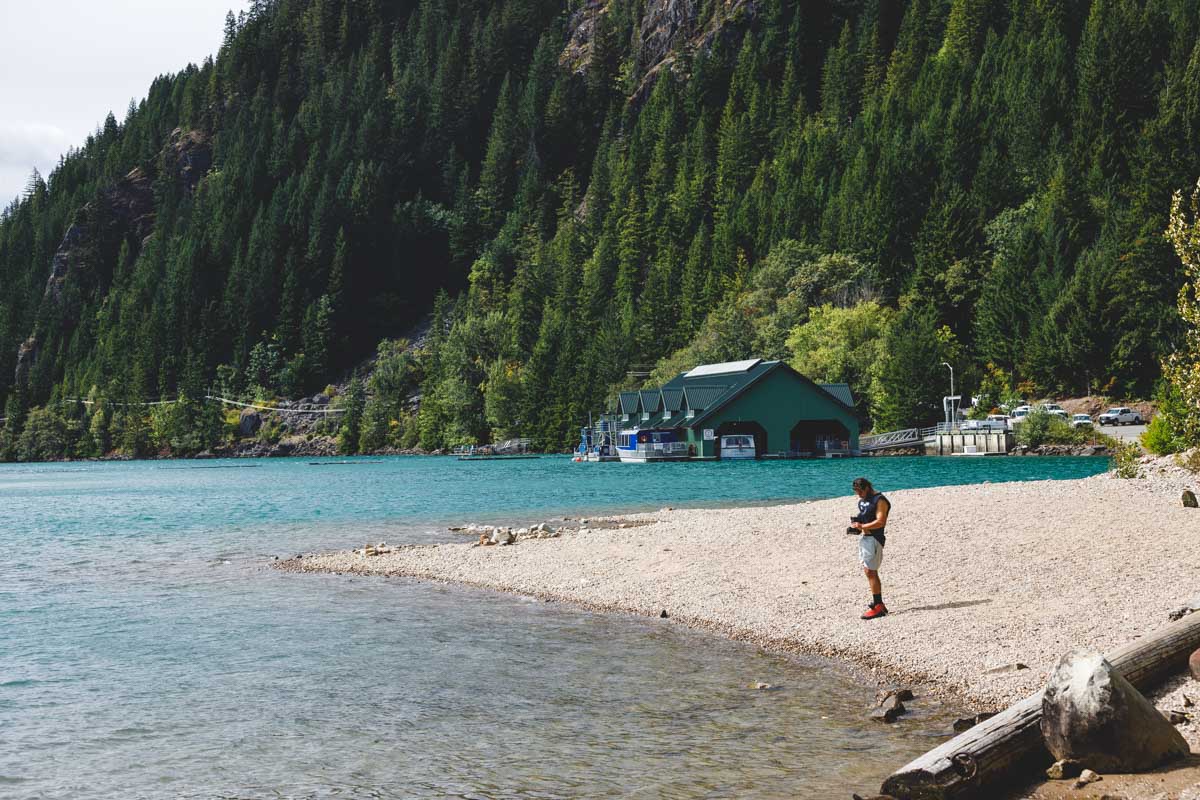
North Cascades Highway didn’t fully reopen this year until June 14. That ties 1974 for the latest start to the season since Washington began keeping records on the pass back in 1972, according to the state’s own transportation department.
It’s not the only high mountain road on this coast running on a short leash. McKenzie Pass in Oregon and Tioga Road through Yosemite both spend roughly half the year buried under snow, and both are open right now — but none of these three wait around once the first real snow shows up.
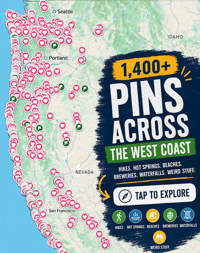
Psst — we made you a West Coast Adventure Map. Nearly 1,900 of our favorite spots, already pinned, ready to load into Google Maps in two clicks — grab it here.
Washington: North Cascades Highway (SR-20)
The scenic stretch of SR-20 between Diablo and Winthrop is 65 miles of switchbacks, glacier-fed lakes, and granite peaks that look more like Patagonia than anything else in the Lower 48. A washout and two emergency repair projects pushed this year’s opening back by weeks, which meant Winthrop and Mazama spent an unusually quiet start to summer waiting on visitors.
📍 GET THE ULTIMATE PNW MAP 🗺️
Get our curated list of the best adventures, things to do, and places to grab a brew loaded onto your maps with just two clicks!
✅ Waterfalls ✅ Hikes ✅ Viewpoints
✅ Craft breweries ✅ National Parks ✅ 1400+ Pins

We’ve hiked a handful of the trailheads that hang directly off this road, and none of them ask much in return for what they give back. The paved Washington Pass Overlook loop is barely 0.3 miles round trip and ends with Liberty Bell Mountain filling the whole horizon.
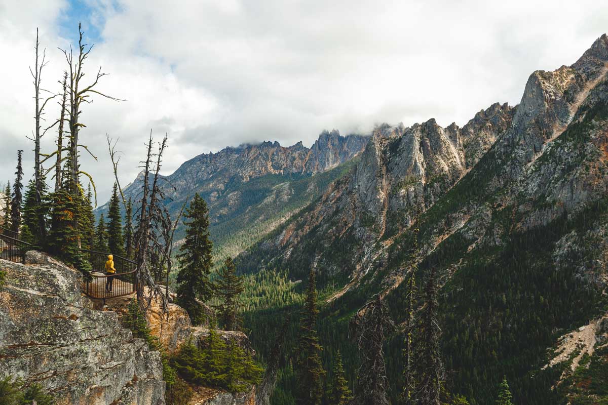
Washington Pass itself tops out at 5,477 feet, and Diablo Lake below it turns that impossible glacial-blue that makes people slow down mid-drive (find an actual pullout first). Rainy Lake is the other easy win nearby — a flat, paved two-mile round trip to a turquoise sub-alpine lake that even strollers can handle.
The highway itself is toll-free, and so is North Cascades National Park — it’s one of the only national parks left with no entrance fee. Trailheads on the national forest land alongside it are a different story, so keep a NW Forest Pass in the car for Rainy Lake, Blue Lake, or the Heather-Maple Pass area.
SR-20 usually closes for the season sometime in November or December, so this year’s late start already shaved weeks off the window. If you’re staying over, Winthrop and Mazama both make a better base than trying to do the whole drive in a single day — book a room on either side of the pass before the good ones are gone.
Oregon: McKenzie Pass (OR-242)
McKenzie Pass opens on the third Monday of June every year without fail — June 15 this time — and closes back down around the second week of November. In between, OR-242 climbs to 5,325 feet and cuts straight through a 65-square-mile lava flow that looks more like the moon than the Cascades.
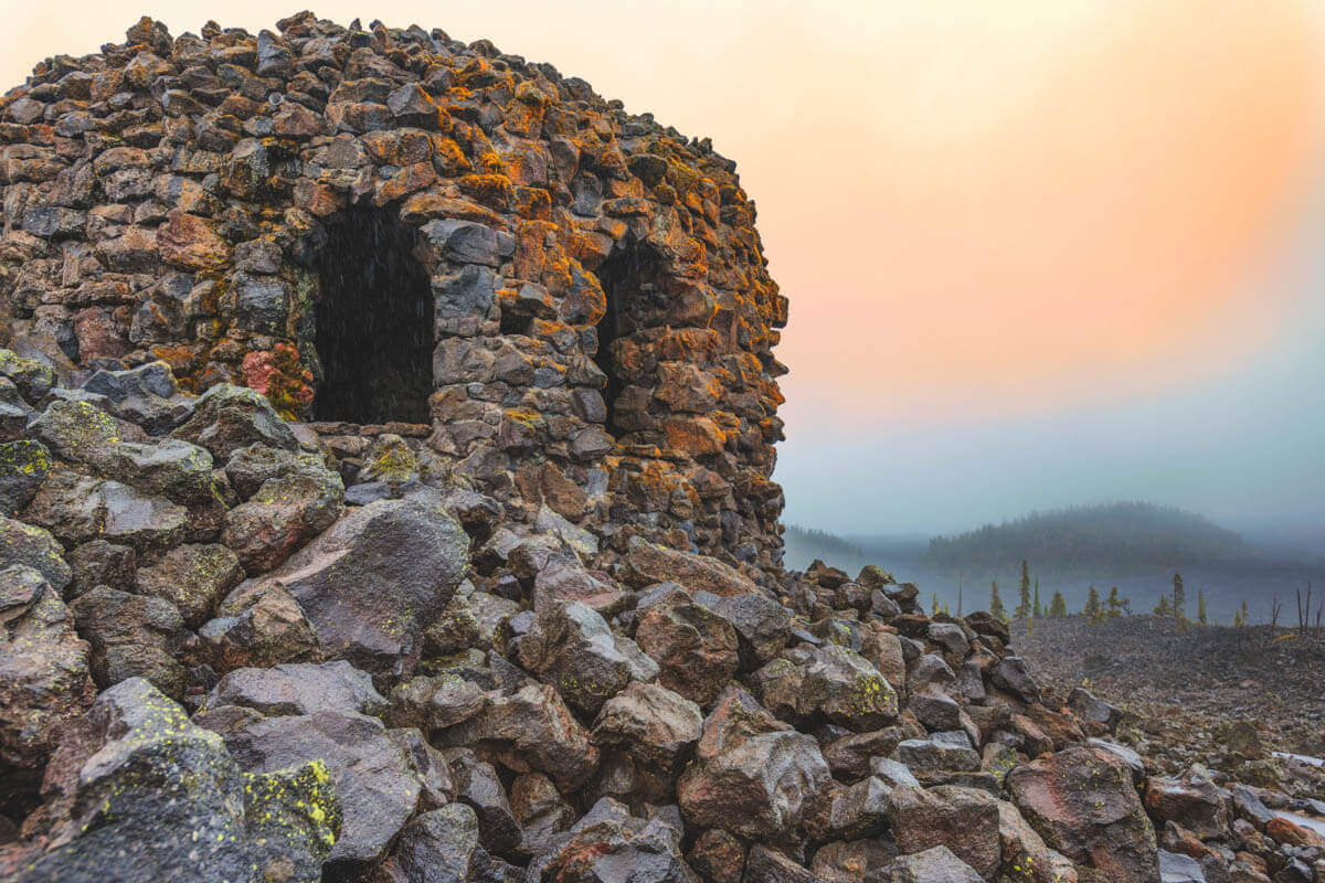
The Dee Wright Observatory sits right at the summit, a lookout shelter the Civilian Conservation Corps built out of the pass’s own lava rock back in 1935. Climb the spiral stairs inside and the window openings cut into the walls frame the Three Sisters and Mount Washington almost too perfectly to be an accident — because it isn’t.
Sisters, the small town on the east end of the drive, is worth the extra twenty minutes even if you’re only passing through for gas and coffee. If I only had one afternoon on this side of the Cascades, I’d pick this pass over the busier Cascade Lakes loop every time — less traffic, more lava fields.
ODOT bans vehicles over 35 feet on this road and doesn’t recommend towing a trailer through here either, so leave the RV in Sisters or Bend and take the smaller car. Both towns have plenty of options if you’d rather stay over than do the pass in one push.
California: Tioga Road (Yosemite)
Tioga Pass is the highest paved pass in California at just under 9,945 feet, and the road through it opened this year on May 15 — one of its earliest starts in more than a decade. It usually closes again sometime in early November, whenever the first snow finally sticks.
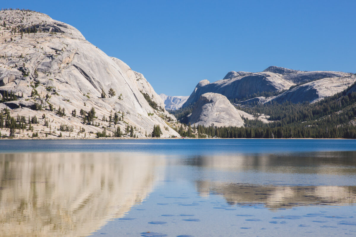
We’ve walked the shoreline trail at Tenaya Lake more than once, and it’s still the easiest payoff on the entire road — 3.5 miles round trip, mostly flat, with lake views the whole way and enough beach at the far end to justify a picnic. Check out our full list of Yosemite’s best hikes for a few more stops worth adding to the drive.
Yosemite dropped its timed-entry reservation system for 2026, which sounds like good news until you’re sitting in a first-come, first-served entrance line that’s longer than it’s been in years. Bring an America the Beautiful Pass or budget for the $35 entrance fee, and get there early.
If you’re making a night of it, Mariposa and Lee Vining bookend the park on either side and both beat trying to find a room inside Yosemite same-day — lock something in before you go.
Three passes, three states, three different closing dates — and not one of them is going to wait for you to make up your mind. Which one’s closest to your summer plans?
Trip tips: rent a car to link all three, or skip the logistics entirely and book a camper van instead.
Rules and fees change — always confirm current requirements before you go.