Smokiest Small West Coast Towns: Places With the Most Wildfire Smoke Days
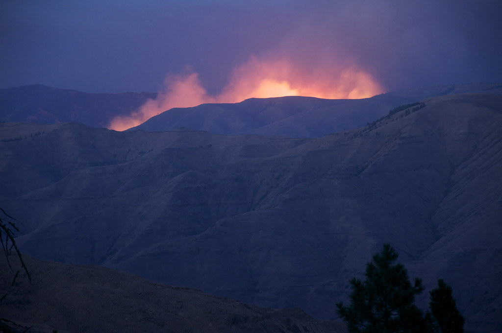
Feature photo: “Northeast Oregon wildfire” by Sam Beebe is licensed under CC BY 2.0
Wildfire headlines follow flames. Your lungs follow smoke. Thanks to regional wind patterns, basins, and mountain “bowls,” some small towns rack up the most smoky days even when the nearest fire is a mountain range away. Think inversion traps, down-valley transport, and late-season stagnation. Below are West Coast small towns that repeatedly land high on multi-year counts of smoky days—places where residents plan summer and early fall around AQI swings. Data shifts year to year; the patterns don’t.
Table of Contents
- Winthrop & Twisp, WA (Methow Valley)
- Colville & Chewelah, WA (Northeast Washington)
- Cashmere & Leavenworth, WA (Upper Wenatchee Valley)
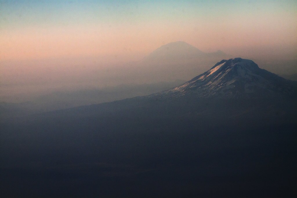
- Sisters, OR (Central Cascades East Slope)
- Oakridge, OR (Willamette Crest Gateway)
- Lakeview, OR (High Desert Rim Country)
- John Day & Dayville, OR (Blue Mountains Front)
- Quincy, CA (American & Feather River Convergence)
- Chester & Westwood, CA (Lassen Country)
- Weaverville, CA (Trinity River Valley)
- Susanville, CA (Lassen Basin)
Winthrop & Twisp, WA (Methow Valley)
A long north–south valley ringed by fire country and open to smoke transport from both sides of the Cascades—and British Columbia. When regional fires light up, down-valley evening winds and overnight inversions bottle smoke on the valley floor. Mornings can start in the red; afternoons sometimes “mix out,” only to reload after dusk.
Locals track wind shifts like weather sports: sifting for windows to hike early or head upridge. Even in “quiet” fire years, distant plumes drift in during late July–September. Pro move: plan high-country mornings, town errands mid-day, and a clean-air room to sleep if AQI sticks high for days.
📍 GET THE ULTIMATE PNW MAP 🗺️
Get our curated list of the best adventures, things to do, and places to grab a brew loaded onto your maps with just two clicks!
✅ Waterfalls ✅ Hikes ✅ Viewpoints
✅ Craft breweries ✅ National Parks ✅ 1400+ Pins


Colville & Chewelah, WA (Northeast Washington)
Tucked between forested ranges with a straight shot for BC and Idaho smoke, this corridor is a repeat customer on late-summer smoke lists. The Columbia Highlands and Selkirks frame a basin where overnight cooling locks particulates near the ground until the day warms.
Expect big day-to-day swings: purple mornings, yellow afternoons when mixing improves, then a reload in the evening if regional fires are active. Winter can see short wood-smoke episodes during cold snaps, but the heavy hitters are August–September wildfire plumes.
Cashmere & Leavenworth, WA (Upper Wenatchee Valley)
Even when local slopes are quiet, smoke flowing down the Wenatchee River corridor can stack here—especially under late-season thermal troughs. Steep terrain plus postcard weather draws visitors just as the AQI needle wobbles.
Patterns: clearer before noon on breezy transition days; worst during stagnant high-pressure runs after lightning bursts. If forecasts show easterly off-the-Cascades wind, brace for overnight traps and “smoke sunrises.” Locals pivot to river time and indoor tastings until a front scrubs the valley.
Sisters, OR (Central Cascades East Slope)
Sisters often breathes everyone else’s fires: Cascades to the west, high desert to the east and south. When ridge-top transport drops into the Metolius–Deschutes basins, smoke settles and lingers. Even with no local ignition, back-building plumes from faraway complexes can park for days.
Tells: copper sunsets, ash flecks on windshields after calm nights, and the midday “lift” that sometimes buys a short hike window. Shoulder months (June, October) can be crystal; late July–Sept is the coin-flip season residents now plan around.

Oakridge, OR (Willamette Crest Gateway)
A mountain town at a convergence of drainages with a reputation for world-class trails—and persistent inversions in late summer. Fires west, south, or east can all funnel smoke into the Middle Fork Willamette valley, where it sticks until a pressure change.
On stagnant stretches, mornings start worst; a light afternoon breeze may thin the soup but not clear it. Locals build indoor workout routines and target ridge rides only when plume projections show a clean sector. The payoff after the first fall storm: air so clear it feels edited.
Lakeview, OR (High Desert Rim Country)
The Warner Mountains and rimrock basins create a catch-basin for transported smoke from California, Nevada, and Oregon fires. Add frequent late-summer Haines Index spikes (unstable, plume-friendly atmospheres) and you get repeat smoky stretches that weren’t “earned” locally.
Expect long-range transport days where visibility falls even with blue sky overhead. Monsoon-adjacent lightning years can stack incidents across the region; Lakeview often sits under the resulting haze until a high-wind cold front clears the deck.
John Day & Dayville, OR (Blue Mountains Front)
A river valley orientation that’s perfect for scenery—and for smoke pooling. When the Blues, Ochocos, or distant Snake River country light up, nighttime down-canyon flow slides particulates straight into town. The next morning’s inversion keeps it there.
Locals key on mixing height forecasts: if it’s low, expect trapped smoke all day; if a dry cold front lifts it, you get a few “salvageable” afternoon hours. Ranch and trail plans flex accordingly, with N95s moving from winter shop tool to summer kit.
Quincy, CA (American & Feather River Convergence)
Set among steep, timbered canyons, Quincy often inhales smoke from multiple directions when Northern Sierra and Southern Cascades burns coincide. Terrain blocks venting; smoke backs up like traffic. Even in summers without a local perimeter, transport from counties away can cap the sky for a week.
Tells: muted mid-day light, a burnt-sugar smell at dawn, and relief only after an onshore push or early fall storm. Residents track AQI like a surf report and schedule “escape” days to the high crest when models show a clean sector.
Chester & Westwood, CA (Lassen Country)
North end of Lake Almanor with routes for smoke off Lassen, Plumas, and Modoc country. Cool nights + lake influence = persistent morning inversions that glue PM2.5 to the surface. On big regional years, it can feel like a string of semi-dim days even without flames nearby.
Clearance typically rides in with a northwest breeze or frontal passage; otherwise, expect day-on/day-off cycles depending on where active plumes drift. Locals lean on portable HEPA units and sunrise paddles only when the AQI briefly dips.
Weaverville, CA (Trinity River Valley)
Trapped between steep ridges with a direct line to Shasta–Trinity backcountry plumes, Weaverville logs repeat smoke days when ridge transport settles into the river corridor. With or without local incidents, transport smoke finds this valley and lingers under high pressure.
Daily rhythm: worst at dawn, sometimes livable mid-afternoon if upslope winds kick, then hazy-orange sunsets and evening relapses. Community life shifts earlier—errands at 8 a.m., HEPA at home by noon when the inversion rebuilds.
Susanville, CA (Lassen Basin)
At the crossroads of multiple smoke source regions—Honey Lake basin, Modoc Plateau, Northern Sierra—Susanville’s bowl-and-basin topography can pin haze for days. Even distant fires over the border can lay a gray lid here when synoptic winds align.
Watch for late-season stagnation (August–September) with weak gradients; that’s when counts of ≥35 µg/m³ rack up. Relief rides in on pattern changes: a trough, a thunder outflow, or the first honest fall storm that flips the switch to blue.
Smoke-Season Playbook (So You Keep Summer… Sort Of)
- Chase mixing heights. Mornings are often worst; target mid-day/late-day outdoor windows when mixing improves—unless stagnation holds.
- Make clean air portable. HEPA room filter + taped window gaps = real gains. Aim for one “clean room” for sleep.
- Mask like a pro. An N95/KN95 beats a bandana. Saves lungs on errand runs and smoke-tinted dog walks.
- Go high or go coast. Ridgetops or coastal breezes can be dramatically clearer for a few hours when valleys stew.
- Plan B hobbies. Gyms, pools, matinees, museums—build a smoke fallback list now, not on the first brown-sky day.
Method note: rankings wobble each summer with ignition patterns and wind, but these towns repeatedly post high counts of smoke-days across recent 3–5 year windows because of terrain funnels, transport paths, and inversion behavior—even in seasons when no local acreage burned.