The Volcano Road Trip You MUST Do on The West Coast

Five giants. One absurdly scenic loop. Think ridge-line highways, lava flows, alpine lakes, and a greatest-hits reel of short hikes and easy pull-offs you can actually do between coffee stops.
This isn’t about bagging summits; it’s about front-row views with minimal suffering, plus a few heads-up on seasonal closures so you don’t drive to a locked gate and cry into your trail mix. Pack layers, throw microspikes in the trunk if you’re shoulder-seasoning it, and keep your plans flexible—these mountains make their own weather.
Table of Contents
- Mount Hood: Timberline, Trillium, Tamanawas (OR)
- Hood River → Rowena Crest Detour (OR)
- Mount St. Helens: Windy Ridge Side (WA)
- Mount Rainier: Paradise & Reflection Lakes (WA)
- Chinook & Cayuse Pass Scenic Drive (WA)
- Lassen Volcanic: Sulphur Works → Bumpass Hell → Manzanita Lake (CA)
- Mount Shasta: Everitt Memorial Highway & Bunny Flat (CA)
- Optional Lava Detour: Lava Beds National Monument (CA)
- Loop Logistics: Closures, Timing, and Easy Wins
Mount Hood: Timberline, Trillium, Tamanawas (OR)
Start strong with the icon you can see from Portland. Park at Timberline for immediate alpine feels (and historic lodge vibes) before hopping down to Trillium Lake for the classic mirror shot—an ultra-easy loop when snow-free and a mellow snowshoe track when it isn’t. Early/late in the year, expect patches of ice or partial boardwalk work; always scan current forest alerts before you roll.
If you want one quick hike with movie-worthy payoff, hit Tamanawas Falls on Hood’s east side for a canyon stroll to a roaring curtain of water. Or keep it even lighter: pull off at roadside viewpoints on Highway 35 wherever the mountain jumps out between trees. Hood is “choose your own effort” territory—zero shame in the park-and-gawk strategy, especially at golden hour. For winter browsers, Timberline road statuses swing with storms, so double-check conditions day-of.
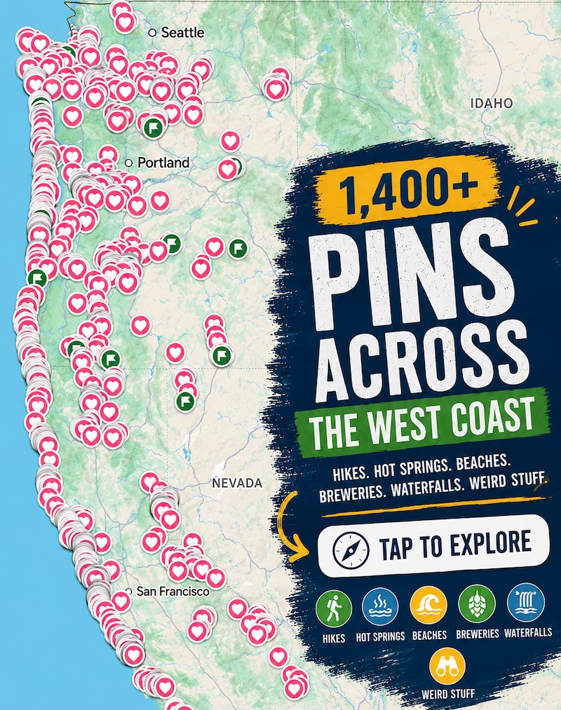
📍 GET THE ULTIMATE PNW MAP 🗺️
Get our curated list of the best adventures, things to do, and places to grab a brew loaded onto your maps with just two clicks!
✅ Waterfalls ✅ Hikes ✅ Viewpoints
✅ Craft breweries ✅ National Parks ✅ 1400+ Pins


Hood River → Rowena Crest Detour (OR)
Leaving Hood, reward yourself with one of the easiest wow-moments on Earth: the Rowena Crest curve above the Columbia River Gorge. It’s a literal two-minute stroll from the lot to the viewpoint, and on clear days you’ll snag a last look back toward Hood’s white pyramid.
On windy afternoons the Gorge can slap—lean into it. If you’re chasing mellow warmth, dip into the fruit-growing valleys near Hood River for calmer microclimates and orchard views. This is also your resupply zone before you angle north toward Washington’s blast zone. (Heads up: Gorge pull-offs are exposed; keep anything valuable out of sight and watch for strong gusts when you open the car door. It’s funny… until it’s not.)
Mount St. Helens: Windy Ridge Side (WA)
Helens is raw power made visible—downed timber, pumice plains, and a yawning crater. With SR-504 to Johnston Ridge cut off by a major landslide (repairs are a long game), pivot east to Windy Ridge when roads are open for the season. The drive alone is a jaw-dropper, and the short “sand ladder” climb at the viewpoint delivers full-frontal crater views with Spirit Lake glittering below. Expect seasonal road closures/snow and occasional bridge work on the forest road network—check the latest detours. (US Forest Service)
Keep your hikes short and strategic: Meta Lake and the blasted “Miner’s Car” pull-off tell the eruption story without burning your day. Bring wind layers; this side funnels gusts that turn a sunny forecast into “why are my eyes watering.” It’s worth it.

Mount Rainier: Paradise & Reflection Lakes (WA)
Rainier is the drama queen of the Cascades—and the road system proves it. The Paradise area is the easiest win: paved lots, visitor facilities, and boardwalk-adjacent alpine meadows when snow retreats. Quick hits include the one-way Paradise Valley Road loop (scenic pull-offs galore) and the Reflection Lakes stop for that famous mirror shot if ice is out. Expect rotating construction, one-way sections, and seasonal closures that change the chessboard—always check the park’s road-status page.
Two pro tips: Sunrise Road (to the park’s highest drivable viewpoint) typically opens later than you want but rewards with planet-Mars panoramas; Carbon River/Mowich access is currently off the table due to a bridge closure. Translation: build in a Plan B and don’t white-knuckle your itinerary.
Chinook & Cayuse Pass Scenic Drive (WA)
If your loop lines up with the open window, the twin-pass combo of Chinook (SR 410) and Cayuse (SR 123) is your “car commercial” day. The road threads between Rainier’s flanks with pull-outs that practically beg for a picnic. You’re not here to overcomplicate it—stop where the view slaps, snap your photos, and keep rolling.
These passes are famously seasonal; they can close for snow earlier than you expect and reopen later than you hope. Shoulder-season travelers should check Washington’s pass pages before committing, and be mentally ready to bail if a surprise system moves in. No shame in rerouting around the mountain if safety or time dictates; the volcano isn’t going anywhere.
Lassen Volcanic: Sulphur Works → Bumpass Hell → Manzanita Lake (CA)
Drop south into a quieter showstopper. The 30-mile park highway is a rollercoaster of lava domes, lakes, and fuming vents—when it’s open. In heavy-snow years, plows fight through 30–40 feet of snowbanks, and sections can stay closed into late spring or early summer. Keep expectations loose.

For easy wins: Sulphur Works is roadside steam theater; Bumpass Hell is a short hike to boardwalks over turquoise pools when the trail finally melts out (often mid-summer); Manzanita Lake is a flat walk with perfect postcard framing. On shoulder days, you can often drive to snowline and stroll part of the highway car-free beyond the gate—a weirdly peaceful way to see the park.
Mount Shasta: Everitt Memorial Highway & Bunny Flat (CA)
Shasta is a free-standing giant with drive-up access that feels like cheating. Take the Everitt Memorial Highway from town to Bunny Flat (and higher, when gates are open) for alpine vistas without a lung-busting climb. Pull-offs stack up the whole way; even a 20-minute cruise feels like a victory lap.
Seasonal gates and storm cycles dictate how high you can drive, but county and forest updates are good about posting status. When the upper gate closes, Bunny Flat remains the standard access point, and the parking-lot views are still ridiculous. Want an extra snap? Detour to McCloud Falls or Castle Lake for short walks that punch above their effort. Keep an eye on road advisories as you go. (siskiyoucounty.gov)
Optional Lava Detour: Lava Beds National Monument (CA)
If you’re a geology nerd (welcome, friend), add a half-day at Lava Beds between Shasta and Lassen. It’s a dense field of lava tubes, cinder cones, and drive-up viewpoints where you can see how this landscape was built from the inside out. Pick a couple well-lit caves for easy in-and-outs, then finish with a sunset pull-off to watch the high desert go gold.
Roads here are generally straightforward, but summer heat and winter chill both go hard. Bring a headlamp and a backup light, and know your limits—slick surfaces and low ceilings get real fast. When in doubt, stick to the short, signed tubes near the visitor area and save the backcountry spelunking for a dedicated trip.

Loop Logistics: Closures, Timing, and Easy Wins
- Closures swing by season. Lassen’s highway reopens after months of alpine snow clearing; Bumpass Hell can stay closed into summer. Rainier’s Sunrise Road opens later; Carbon/Mowich access is shut due to a bridge issue; pass roads like Chinook/Cayuse come and go with storms. St. Helens’ Johnston Ridge is cut off for now; use Windy Ridge when open. Hood trails/boardwalks get periodic maintenance closures. Check official pages right before you go. (National Park Service)
- Short-hike strategy. Prioritize 1–3 mile trails with huge payoffs (Reflection Lakes, Bumpass Hell, Tamanawas Falls, Bunny Flat strolls). If weather flips, you’re only 30–60 minutes from the car.
- Gear & car. Layers, sun + storm protection, and an ice scraper even in “summer.” Chains may be required on shoulder-season passes; wildfire smoke can impact views anytime—build in buffers.
- Reality check. The loop shines in any season, but each mountain has a “best window.” Keep your lodging cancellable and your ego flexible. The volcanoes always win.