One of these West Coast bike paths used to be a railroad, one hugs 12 miles of alpine lake, and the third doesn’t touch a single stoplight
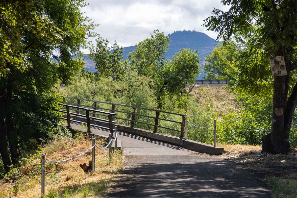
Some of the best biking on the West Coast has nothing to do with mountain bikes, singletrack, or spandex. Three paved paths in Oregon, Washington, and California let you ride for miles without ever checking your mirror for a car.
One used to carry freight trains. One connects two Seattle neighborhoods and a whole suburb without a single stoplight. And one runs so close to Lake Tahoe’s shoreline you’ll want a helmet cam just for the water.
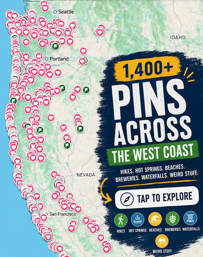
Psst — we made you a West Coast Adventure Map. Nearly 1,900 of our favorite spots, already pinned, ready to load into Google Maps in two clicks — grab it here.
Oregon: the Banks-Vernonia State Trail
The Banks-Vernonia State Trail runs 21 miles between the towns of Banks and Vernonia through the foothills of Oregon’s Coast Range, and it was the state’s first rail-to-trail conversion. The old railroad grade keeps the climbs gentle the whole way — nothing steep enough to make you regret skipping the e-bike.
📍 GET THE ULTIMATE PNW MAP 🗺️
Get our curated list of the best adventures, things to do, and places to grab a brew loaded onto your maps with just two clicks!
✅ Waterfalls ✅ Hikes ✅ Viewpoints
✅ Craft breweries ✅ National Parks ✅ 1400+ Pins

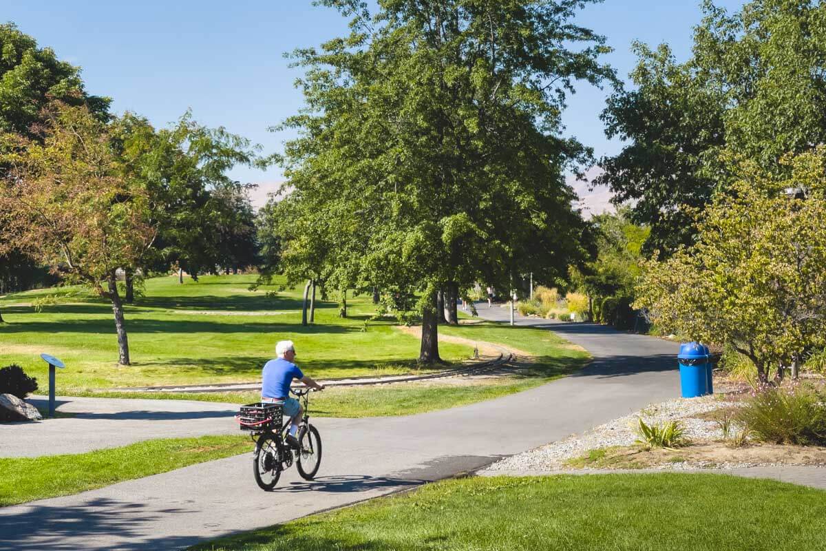
The main path is paved and eight feet wide, with a separate gravel trail running alongside for horses. Trailheads pop up all along the route, so you can ride the full 21 miles one way or just knock out a shorter out-and-back near either end town.
Washington: the Burke-Gilman Trail
Seattle’s Burke-Gilman Trail runs about 20 miles from Shilshole Bay in Ballard, through Fremont and the University District, before ending in Bothell. Almost the entire route is paved and separated from traffic, which is rare for a trail that cuts straight through a major city.
It’s less a wilderness escape and more the best commute you’ll ever have — waterfront views of Lake Union and Lake Washington, plus a straight shot out of downtown without merging into a single lane of car traffic. Keep going past Bothell and it links up with the Sammamish River Trail toward Redmond and Woodinville, if 20 miles isn’t enough.
California: the West Shore bike path at Lake Tahoe
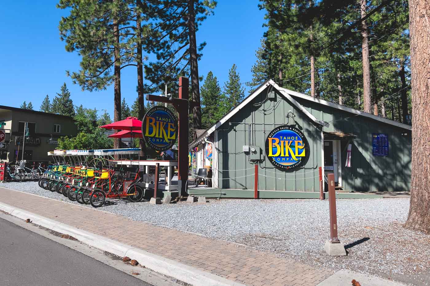
On Tahoe’s west shore, a paved multi-use path runs roughly 12 miles along Highway 89 from Tahoe City down toward Sugar Pine Point State Park, staying close enough to the lake that pullouts and beach access points show up every mile or so.
The route passes near Emerald Bay State Park, so a ride down here doubles as a preview for anyone planning to hike down to the lake later. Wildfire smoke can roll into the basin on some summer afternoons, so check conditions before you commit to the ride.
Three states, three completely different rides, and not one of them requires you to share the road. Which one’s going on your list first?
Trip tips: grab a rental car to get out here, lock in your hotel before the good rooms are gone, or skip both and book a camper van instead.